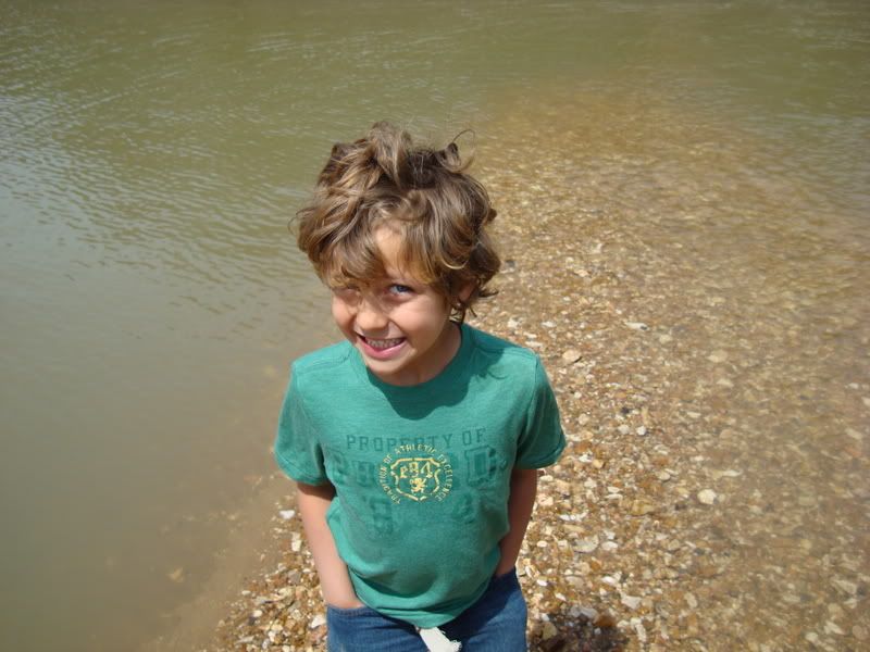
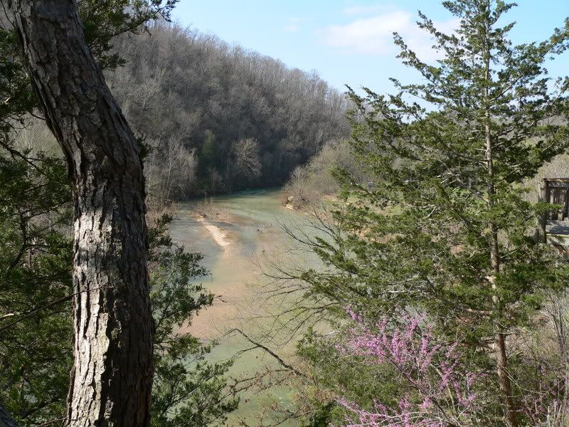
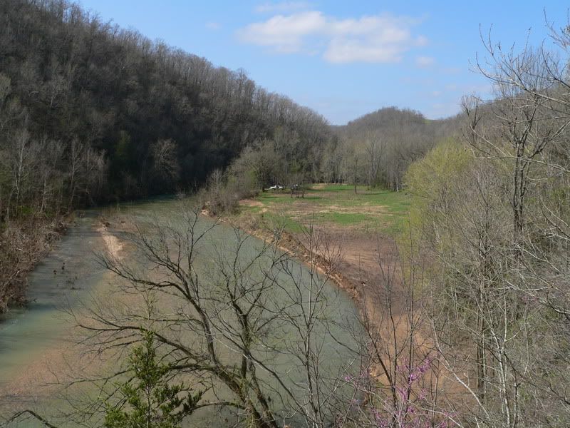
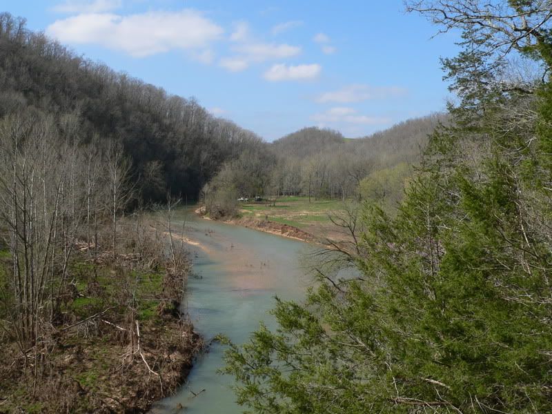
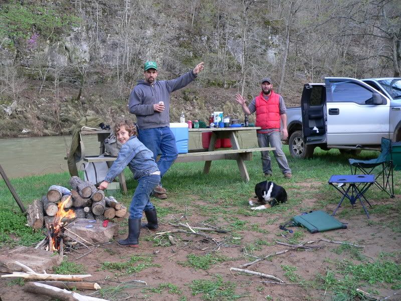
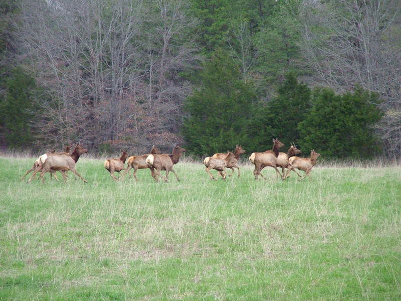
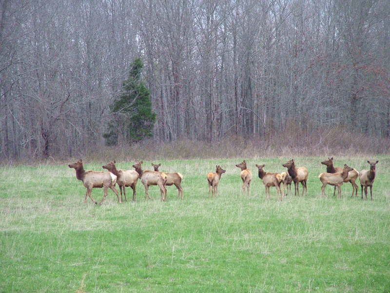
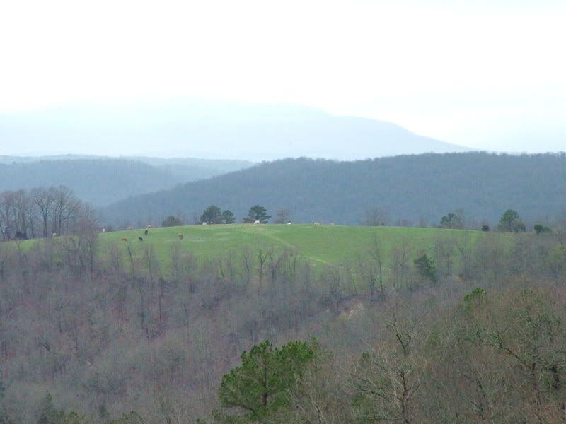
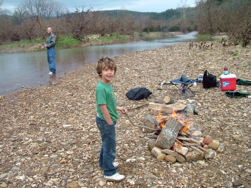
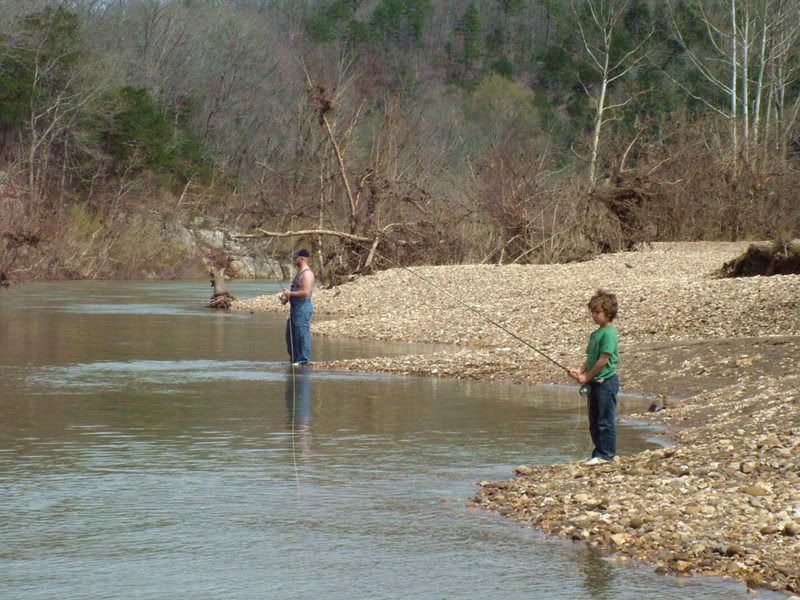
The wild part was the fact that it was 19 miles long, full of wildlife, and it took 15 hours of regular and sometimes very heavy paddling. There were no open public access roads in the entire course and just about 3 private ones that probably lead to no one. Otherwise, it was 100-200 fts bluffs on either side. If the Buffalo River is wild, Big Creek is 4 x 4 wild. It should have been a three day float for us.
The crazy part was the fact that we got a hole in the keel of our borrowed canoe on the first day. We don’t remember where we got it and didn’t know we had it until making camp the first night and pulling it up on the bank. Every 45 minutes thereafter we needed to bank it, remove our overnight supplies and turn the water out to keep from sinking. The hole kept getting bigger. I was a bundle of nerves the last 5 hours and belatedly recall one should go canoeing with a good bailing tool, gum and duct tape.
Put in/take out: Warren Mountain Access Road through the WMA is closed off. Unless it’s a magical sanctioned hunting day and the gate is open, you need to go up to Low Water Bridge #3: Wilburn, AR SH101 and about 7 miles East on Tylar Road. There was 1.5 inches of water crossing the bridge and I wouldn’t float this again with any less. I read elsewhere that if there was a foot or more, don’t do it and I believe it. The take out spot is the bridge at McJester Baptist Church a little north of Pangburn on McJester. A prominent web review calls this the Old Iron Bridge, but that’s gone, it’s a new cement bridge. You can park past the bridge.
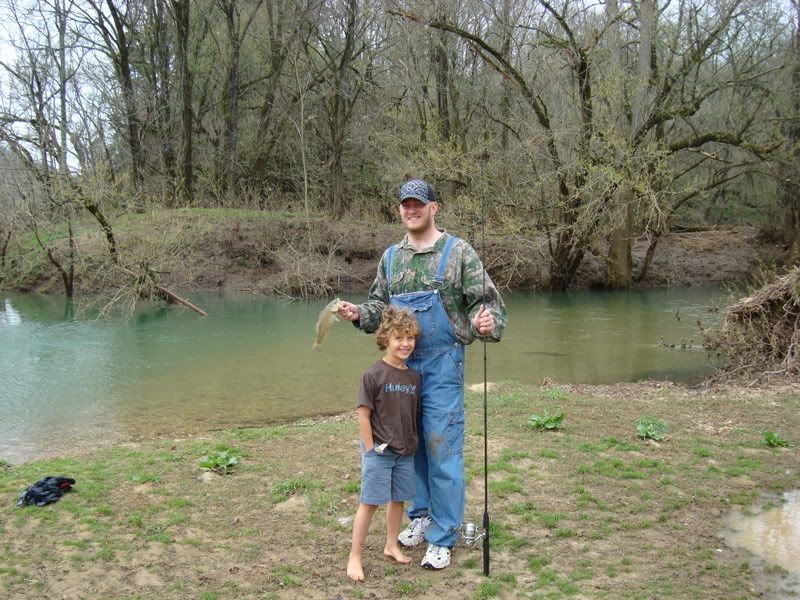
Fish: We were looking for smallmouth, but were surprised. Daren caught his largest fish yet; a 5 lb largemouth in the last 5 miles. He caught about 20 good size stripers , a ton of brim and only one puny smallmouth. We only had one rod and reel so I can’t add to the average. Other factors included a full moon, 75 degree sunny days and 40 degree night.
Canoeing: there is some white water. There are a few falls that take some thought. We had to portage around numerous recently flood felled trees that create long deep slow pools preceding them. Yet the trickiest and most treacherous part were the cypress groves that crept up the last 5 miles. White (cold clear) water shooting through a half mile stand of cypress and their knees was new to us. We got a second gash in our borrowed canoe which was already a sinking ship. The only way we found through was to walk it – each time thereafter.
Other Resources:
Bring your own canoe.
http://southwestpaddler.com/docs/whitear8.html
http://www.arkansascanoeclub.com/mb/
http://ozarks3xw.blogspot.com/2008/02/big-creek-natural-area.html
Gid on Ice 2
-
These images are from the first week of January, 2018 when we had a lengthy
cold spell. We went to the Gristmill Waterfall (Fall Branch Mill) that day
afte...
6 years ago


